Maps of the
Pacific Coast Highway
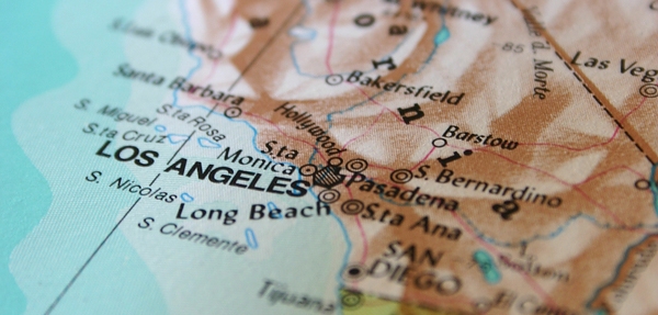
Good road maps of the Pacific Coast Highway are obviously essential for anyone planning to drive the trip. At the bottom of the page we've put an interactive Google map which shows just the stretch of road between Dana Point and Oxnard that is officially designated the Pacific Coast Highway.
 Map of the Pacific Coast Highway's Southern Stretch
But we don't believe in re-inventing the wheel. There is already an excellent website, milebymile.com, which provides free downloadable maps of the Pacific Coast Highway section by section.
You can also customize what's included, so you can, for example, choose to exclude beaches, or have driving directions which only show you the beaches on the way.
Click on the links below, to see some of the Pacific Coast Highway maps that are available. We've listed those for the California coast, the 'real' Pacific Coast Highway.
If you want PCH maps of Oregon and Washington, go to the Mile by Mile website and you'll find them. We don't want to list them all again here, when we didn't do them in the first place. So take a look at these:
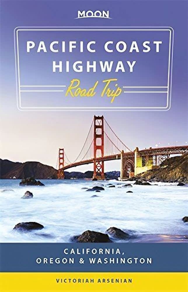
The maps are printable as PDFs, but if you prefer to have real maps then here's some we can recommend:
Other driving pages
Pacific Coast Highway Travel's guide to Oregon coast charging stations for electric vehicles, from Brookings in the south to Astoria in the north.
If visiting California and planning to drive the Pacific Coast Highway it's important to know California driving laws in case they differ from your own state.
Epic Drives of the World from Lonely Planet describes 50 of the world's most exciting road trips, including, of course, the Pacific Coast Highway.
The Pacific Coast Highway in California book shows in historic photos the building of the Pacific Coast Highway from its earliest beginnings in 1911.
Here are the basic facts if you plan to drive the Pacific Coast Highway, including which is the best direction and when is the best time to go driving.
Pacific Coast Highway driving tips for this great American road trip include finding cheap gas, watching the speed limits, and allowing plenty of travel time.
Pacific Coast Highway Travel's advice on driving the Pacific Coast Highway in four days, including the best places to stay, and the best things to do and see.
Historic Route 66 winds from Chicago to LA, going through Los Angeles, meeting the Pacific Coast Highway in Santa Monica, California, at the Santa Monica Pier.
Pacific Coast Highway Travel takes the 17-Mile Drive from Carmel to Pacific Grove and Monterey, stopping to see the Lone Cypress and beautiful coastline views.
Review of the Pacific Coast Highway Road Trips book from Lonely Planet, which includes a California Driving Guide, by the Pacific Coast Highway Travel website.
Driving from San Francisco to San Diego has two main options, the fast way on I-5 or the scenic route along the Pacific Coast Highway.
Pacific Coast Highway Travel's guide to Washington coast charging stations for electric vehicles along Highway 101 from Oregon and around the Olympic Peninsula.
Pacific Coast Highway Travel reviews the Pacific Coast Highway Road Trip Guide book covering the drive from Vancouver to San Diego.
Pacific Coast Highway travel offers advice on driving from LA to Hearst Castle, including distance, journey time, and route.
Pacific Coast Highway Travel's advice on driving the Pacific Coast Highway in two days, including the best places to stay, and the best things to do and see.
The best time to drive the Pacific Coast Highway is when you have the most time to spare, but late spring and fall is when you'll get the best weather.
Pacific Coast Highway stops include big city vacation destinations like Seattle, San Francisco, Los Angeles and San Diego, and smaller places like Monterey.
When to Drive the Pacific Coast Highway depends on whether you want to drive in Oregon and Washington as well as California, and on the weather.
Driving the Pacific Coast Highway is made easier with Road Trip USA by Jamie Jensen, a good handbook for the west coast drive.
Here are links to the different ways you can go along the Pacific Coast Highway, one of the most popular drives in the world but you can also cycle it.
One of the best guides to West Coast RV Parks, covering campgrounds in California, Oregon, and Washington, is West Coast RV Camping from Moon Guides.
Pacific Coast Highway Travel's advice on driving the Pacific Coast Highway in three days, including the best places to stay, and the best things to do and see.
California coast charging stations are so numerous that the Pacific Coast Highway is one of the best US road trips to drive in an electric vehicle or EV.
Lonely Planet's Coastal California guidebook is the ideal travel guide for driving or cycling the Pacific Coast Highway from the Oregon border to Mexico.
Drive times and distances on the Pacific Coast Highway or the quickest routes from Seattle to San Francisco to Los Angeles to San Diego.
-
Feb 18, 26 10:19 AM
A powerful winter storm continues to impact Malibu, Topanga Canyon and much of Los Angeles County, triggering road closures, evacuation warnings and significant travel disruptions across the region.
Read More
-
Feb 17, 26 11:19 AM
A dangerous storm is slamming California with life-threatening flash floods, mudslides, and up to 8 feet of Sierra snow. Stay informed with real-time radar, Los Angeles evacuation warnings, and major…
Read More
-
Feb 17, 26 11:19 AM
Flash floods have ripped across Los Angeles as large swathes of California were lashed by a high-impact storm Monday morning.
Read More
